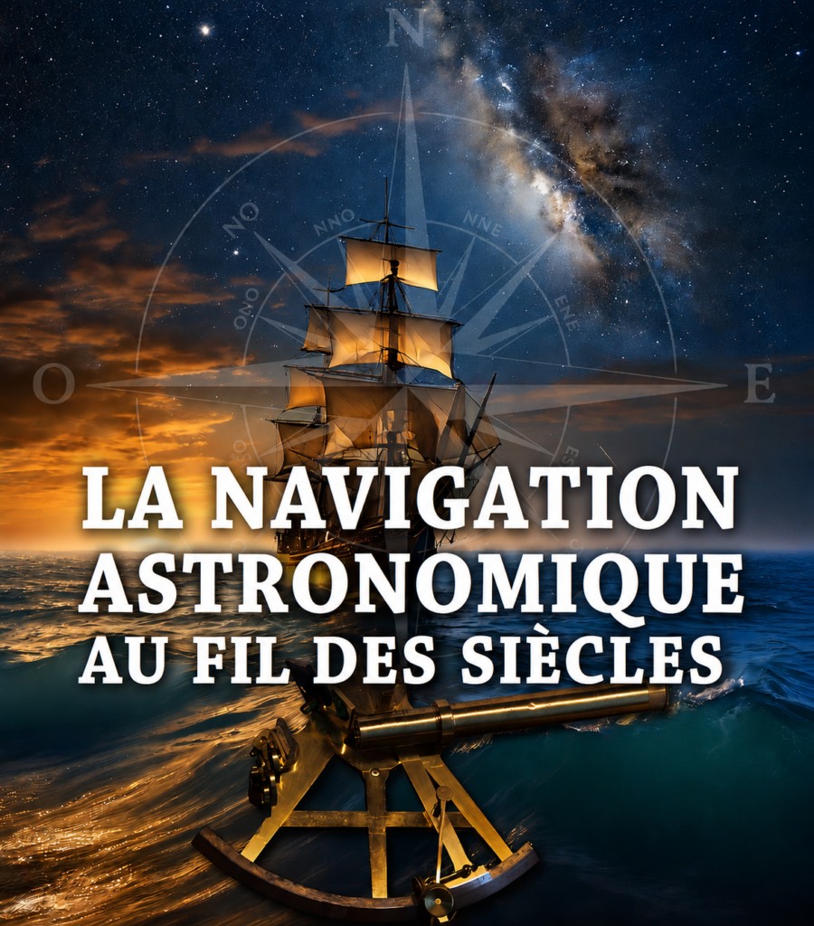
I delivered this lecture on September 24, 2026, in the community hall in La Rochegiron (04150).
Knowing one’s position at sea is a matter of survival. Out on the open sea, when the coast is out of sight, the only visible landmarks are the stars. What instruments and techniques have been used over the centuries to navigate at sea?
The problem of latitude was solved fairly early on. But how do the instruments used throughout history work—from the “Viking compass” to the sextant, including the astrolabe, Jacob’s staff, the Davis quadrant, and the octant?
As for longitude, the problem was even more difficult to solve: the “longitude race” engaged the greatest scientists for nearly 500 years and pitted the Paris Observatory (founded in 1667) against the Greenwich Observatory (1675).
In the 20th century, GPS “sealed the deal,” but it is susceptible to jamming in times of war. And the conflicts of the 21st century—whether hybrid or openly declared—highlight its limitations. While recreational boaters still learn to determine their position at sea for fun, other sailors do so to prepare for any eventuality…
Poster image credit: Noé Delibres, *L’Astronomie*, Société astronomique de France.
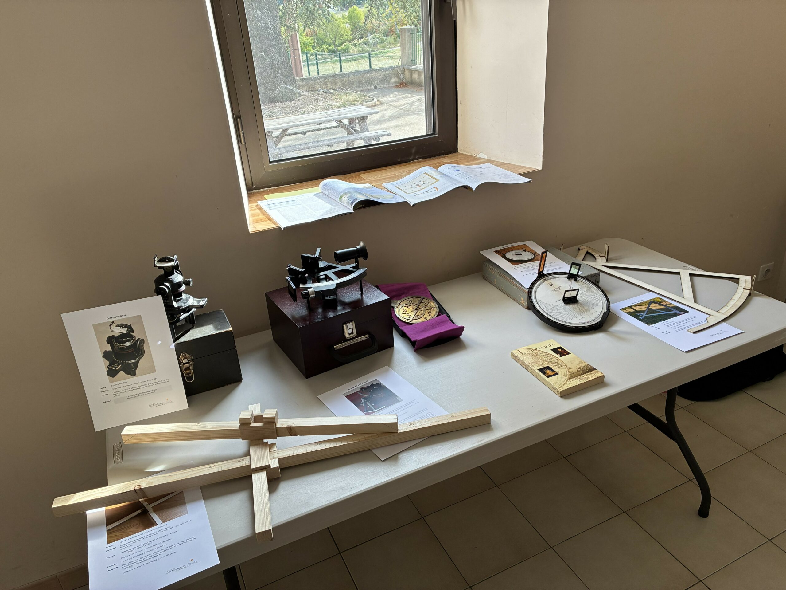
A small exhibition of instruments illustrating astronomical navigation through the centuries:
- A Jacob’s staff (or cross-staff), a replica made by the author
- An Astro Compass MkII
- A modern sextant
- An astrolabe (replica of a 14th-century instrument)
- The novel “Longitude” by Dava Sobel (French translation, published by JC Lattès)
- A Marean Kielhorn director
- A Davis quadrant, a replica made by the author
- And on the windowsill, two issues of “L’Astronomie” containing articles by the author
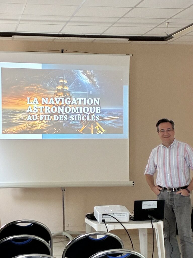
Ready for the conference !
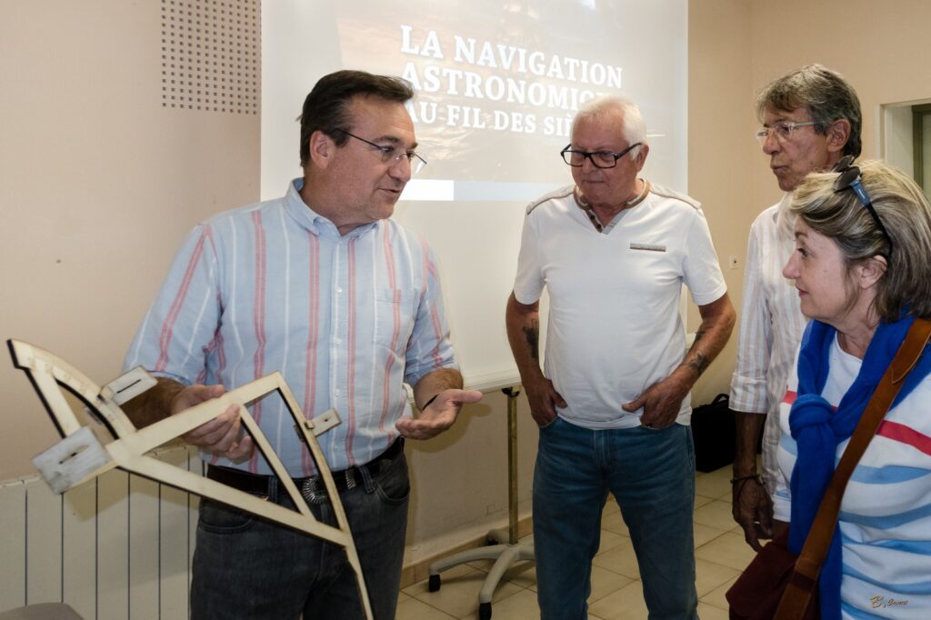
The discussion continued after the conference, as I demonstrated and showed people how to use the instruments I had brought. Here is the Davis Quartier that I made.
Click here to learn more about how to use this instrument!
Download the poster here for all the details.